The government wants all smartphones to have NavIC, which is more accurate than GPS.The beginning of NavIC’s operation was in 2018. (7year Deferment from target date). But the reason it is in the news right now is that the Indian government wants all smartphones sold there to have the NavIC app (like Google Maps). The hardware of some phones may need to be slightly modified as a result, particularly the chipsets, which will increase the price of the phones.
 Source: GeoSpatial World
Navigation with Indian Constellation (NavIC) Technology
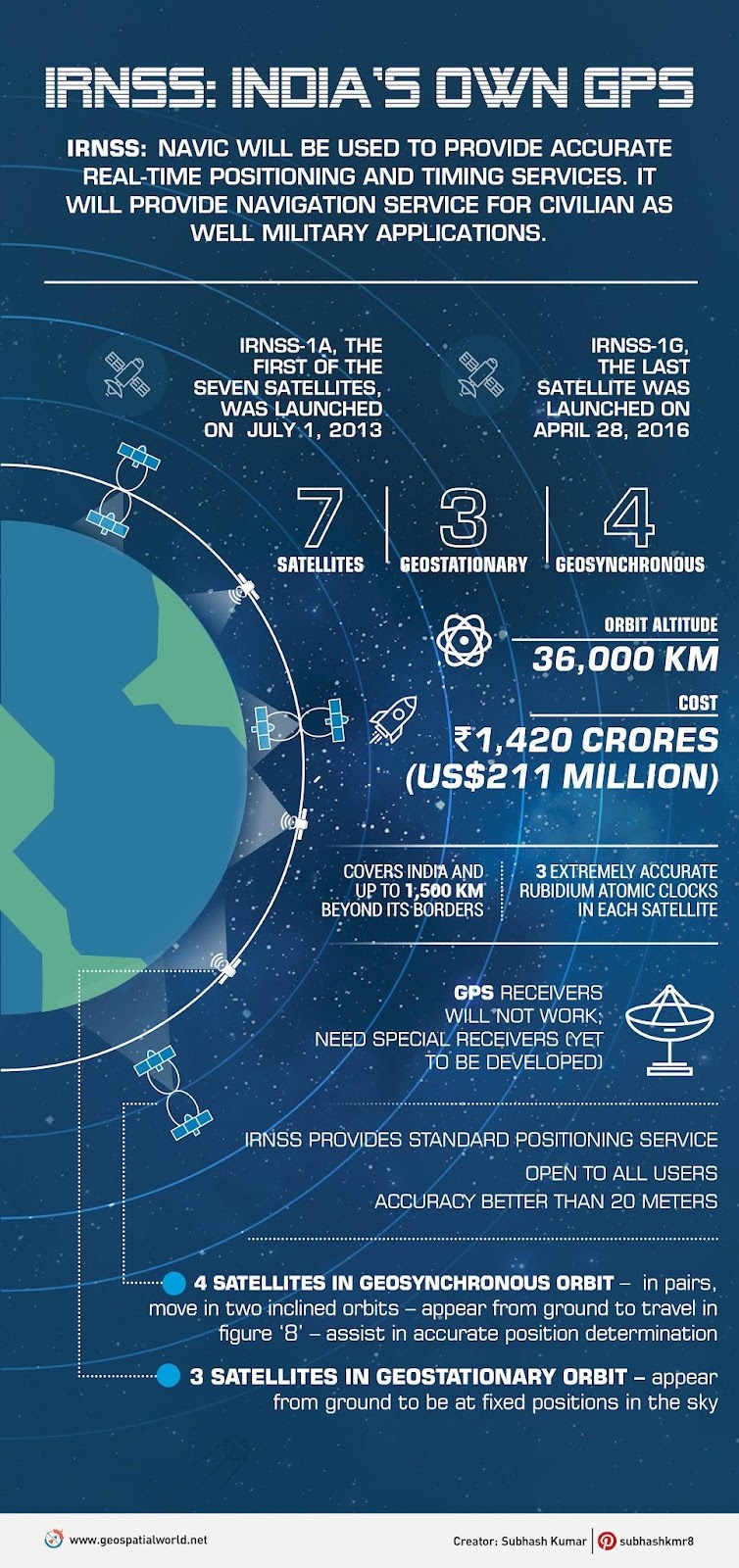
Indian Regional Navigation Satellite System (IRNSS), also known as an autonomous regional satellite navigation system, is being developed by ISRO. It is intended to give users in India and a region that extends up to 1500 km from its border precise position information services. It will offer two different services: SPS: Standard Positioning Service, accessible to all users.
Restricted Service (RS): This encrypted service is only available to users who have been granted permission. In the main service region, the IRNSS System is anticipated to deliver location accuracy of better than 20 m. Currently, it consists of 7 operational satellites spaced roughly 36,000 kilometres apart. There are 3 satellites in geostationary orbit (GEO). In inclined Geosynchronous Orbit are 4 satellites (GSO).
 Source: Geospatial World
Motives for launching NavIC
NavIC is made to offer greater location precision, not just for civilian use but also for military activities. Due to the US government’s failure to give other nations with reliable GPS data, India developed its own navigation system. The origins of this can be traced back to the Kargil War, when Pakistani forces first arrived in Kargil in 1999. At the time, India had requested GPS data for the region, but the US had declined. The notion of NavIC then got more momentum as India realised the advantages of having an indigenous satellite navigation system.
 Source: BeeBom
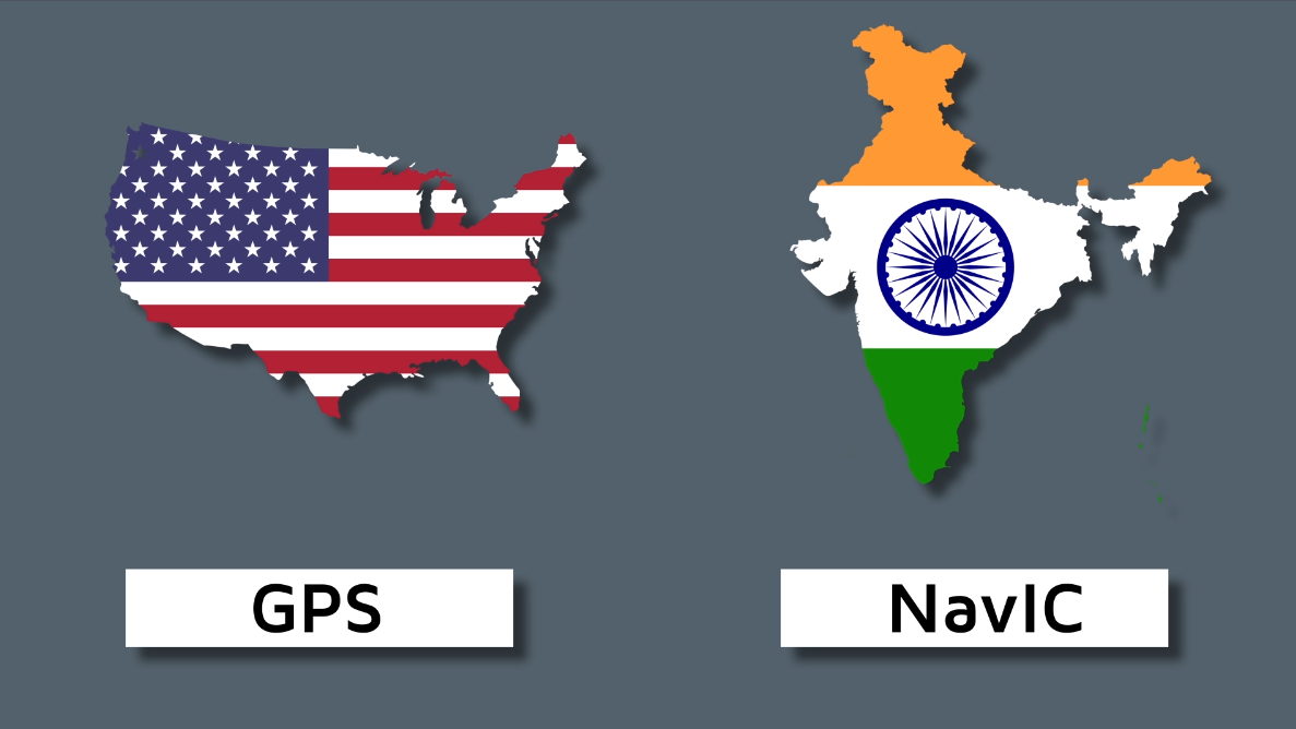
GPS vs NavIC
Geosynchronous satellites are used by GPS, and their positions are not fixed in reference to a certain location on Earth. In contrast, NavIC relies heavily on geostationary satellites, whose locations are predetermined with respect to a particular location. Because they follow the route of the globe, satellites always orbit above a particular fixed place on the surface of the Earth. Due to their higher orbit, geostationary satellites have fewer obstructions but also weaker transmissions.
 Source: Gareeb Scientist
NavIC can attain an accuracy of up to 5 to 10 metres, but the majority of people believe that GPS has an accuracy of up to 20 metres. NavIC is thought to have a quicker latch-on time, or Time To First Fix (TTFF) in technical jargon, in addition to accuracy. This suggests that NavIC can locate you quicker than GPS even in crowded urban areas with several tall buildings and obstructions.
Why is NaVIC more exact than GPS?
That’s a little technical, but it’s because NaVIC employs two frequencies instead of one – the L5 (1176.45 MHz) and the S band (2492.028 MHz). This enhances accuracy by allowing satellite receivers to account for atmospheric problems by using both frequencies at the same time. Furthermore, the system has a higher uptime than GPS because, as stated in a government press release, “any frequency can suit the positioning purpose equally effectively.“
NavIC application:
Money generation: It will promote healthy competition among various navigation services, as well as possibly significant revenue for the country. NAVIC should also encourage technological advances and spin-offs that reduce India’s reliance on technological imports from the West and others. India can combine NAVIC with GAGAN, its indigenous augmentation system, to offer consumers varied fees based on the level of navigational precision they require.
Interoperability: NAVIC’s GPS interoperability can help to reduce technical hitches when used in tandem with other GPS-enabled systems. Net security providers: It will strengthen a country’s ability to act as a net security provider with its neighbours. The Global Positioning System (GPS) in the United States played an important part in relief operations following catastrophes such as the tsunami in 2004 and the 2005 Pakistan-India earthquake.
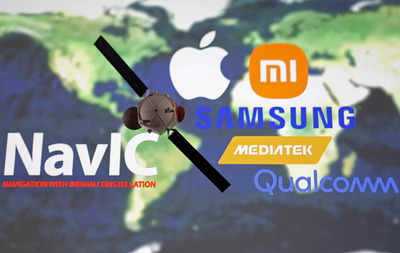
Why does the government want NavIC included in smartphones?
 Source: Times Of India.
During hostile circumstances, the worldwide satellite navigation systems that are under the control of other countries may become inoperable. The Indian government has therefore created its technology to lessen the nation’s reliance on other navigation systems like GPS in order to avoid such a disaster.
India has been promoting NavIC ever since, and even hopes to see it become a standard global system that can compete with GPS. The Indian government wants all devices to support the new standard in order to accomplish this.


