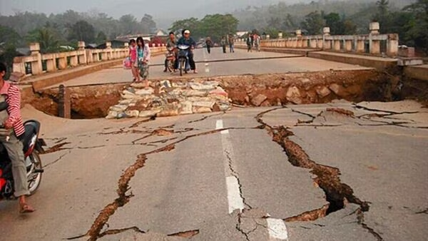
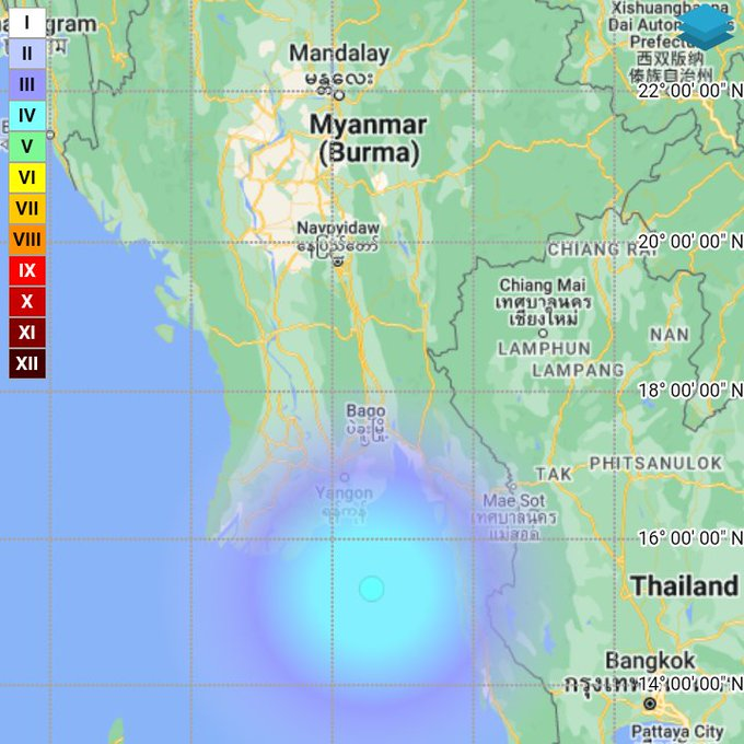
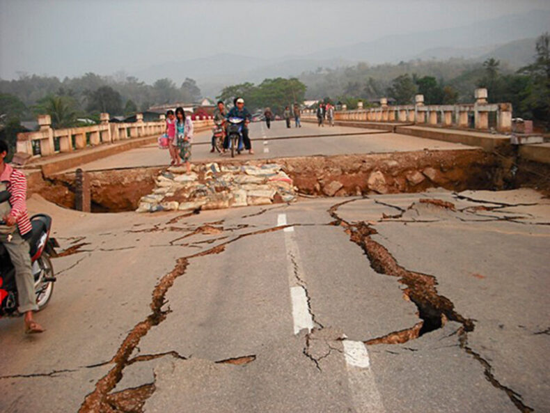
Myanmar earthquake: At approximately 05:43 in the morning, Myanmar was shaken by a tremor with an epicentre 174 km south-southeast of Yangon.
Myanmar earthquake: At midnight on June 21 and in the early hours of June 22, Myanmar, a neighbour country of India, had three consecutive tremors of magnitude more than 4. Three hours after the second earthquake, which occurred at approximately 2.53 am IST, a third earthquake with a magnitude of above 4.5 struck the nation. The National Centre for Seismology (NCS) reported that a 4.5-magnitude earthquake struck Yangon, Myanmar, on Thursday.

The third earthquake struck Myanmar.
The earthquake, which had a 48 Km depth, happened at 05:43:00 IST, according to the NCS. “Earthquake of Magnitude:4.5, Occurred on 22-06-2023, 05:43:00 IST, Lat: 15.32 & Long: 96.56, Depth: 48 Km, Location: 174km SSE of Yangon, Myanmar,” was stated in a tweet by NCS.
2.52 a.m. saw a second tremor
Earlier, at 02:52:08 IST, a second earthquake with a magnitude of 4.2 was observed at a depth of 10 Km. A tweet posted by the NCS read, “Earthquake of Magnitude:4.2, Occurred on 22-06-2023, 02:52:08 IST, Lat: 15.40 & Long: 96.19, Depth: 10 Km, Location: 160 km S of Yangon, Myanmar.”
At 23:56, the first tremor was noted.
At 23:56:23 IST, Yangon, Myanmar, was hit by the first one. “Earthquake of Magnitude:4.4, Occurred on 21-06-2023, 23:56:23 IST, Lat: 14.83 & Long: 96.56, Depth: 25 Km, Location: 227km S of Yangon, Myanmar,” the NCS stated in a tweet. No casualties have been reported yet as of now, but further updates are awaited.

Previous Month:
On May 22, 2024, around 8:15 am, the National Centre for Seismology reported that an earthquake with a magnitude of 4.5 had struck Myanmar. The earthquake occurred at a depth of 14 km, according to the NCS. It was the second earthquake that month, the first having occurred on May 2. In the months of May and June, there have been a total of five earthquakes.
Due to its location in a significant seismic region, Myanmar is, in fact, earthquake-prone and susceptible to risks from moderate to massive earthquakes, including tsunami threats along its extensive coastline areas. According to the seismotectonic of the area, the majority of the earthquakes that have occurred in Myanmar have started along active subduction zones, such as the Andaman Megathrust Zone in the west and the Sagaing Fault Zone in the country’s centre.
For the next-generation seismic zone map of Myanmar to be fully functional and included in the Building Code, technical advancement is required, which in turn necessitates studies and discoveries regarding the tectonics of Myanmar.
Listed keywords:
Richter Scale: The most popular scale used to quantify earthquakes is the Richter magnitude scale, sometimes known as the Richter scale. It was created in 1935 as a mathematical tool to compare earthquake size by Charles F. Richter of the California Institute of Technology. The amount of energy that is released when an earthquake occurs is measured by deploying the Richter scale.
Seismology: The scientific study of earthquakes and related events like volcanic eruptions is known as seismology. Earth’s crust which is made up of tectonic plates, shifts during an earthquake which in turn releases energy in the form of waves.


