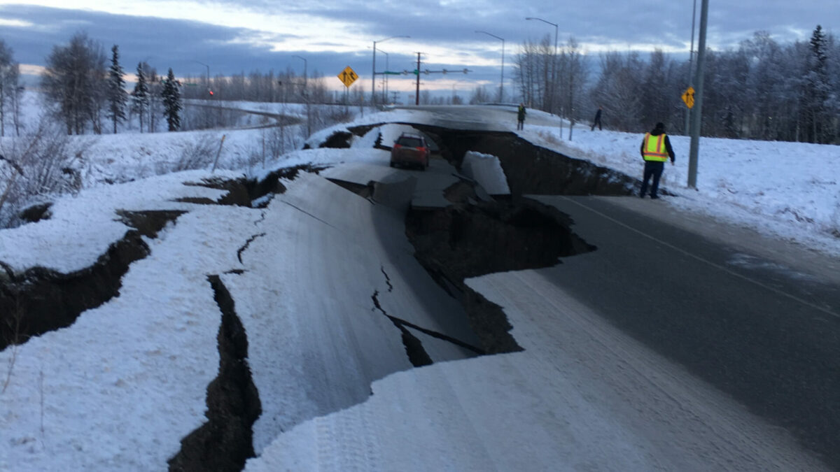
Following the earthquake in Alaska, a tsunami warning was issued for a portion of the US state.

The Alaska region was hit by a strong 7.4 magnitude earthquake today, according to the United States Geological Survey (USGS). After the earthquake, many US states received an official Tsunami Warning as a precaution.
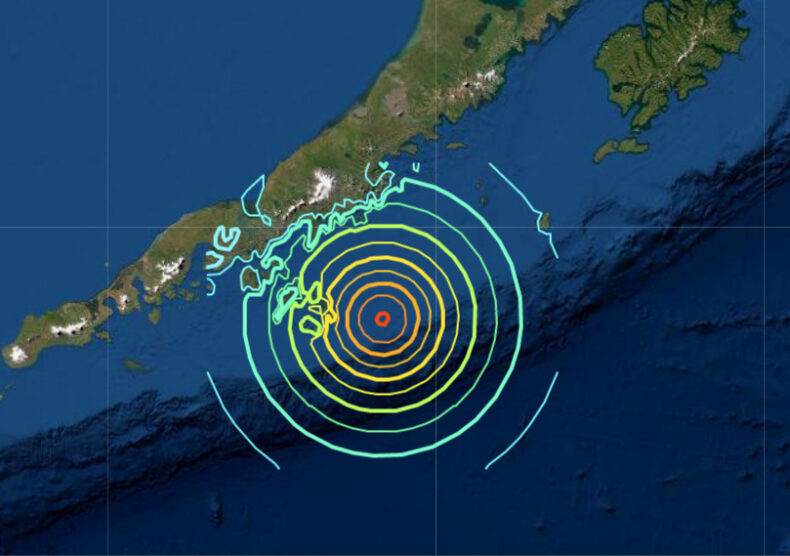
The US Tsunami Warning Center reports that the earthquake occurred offshore on Saturday at 10:48 p.m. local (2:48 a.m. ET) at a depth of 13 miles, roughly 55 miles southwest of Sand Point, Alaska.
The Aleutian Islands, the Cook Inlet, and the Alaskan Peninsula all reported feeling earthquakes, according to the Alaska Earthquake Centre.
There were no reports of casualties or damage right away.
Areas stretching from Kennedy Entrance to Unimak Pass, Alaska saw a brief tsunami warning following the earthquake, later it was revised to a tsunami advisory. Later, at Sand Point and King Cove in Alaska, a small tsunami with an elevation of up to 0.5 feet was seen.
The advisory stated that there is no tsunami concern for other Pacific coasts in the US and Canada.
After the Shishaldin volcano released an ash plume earlier on Saturday, the Alaska Volcano Observatory issued a warning notice for the volcano.
The Shishaldin volcano is now under “watch” status. The observatory reports that seismic tremor activity started to pick up at 5 p.m. local time.
North America was hit by the largest 9.2 magnitude earthquake in March 1964, which was also recorded in Alaska. It created a tsunami that struck Hawaii, the US west coast, and the Gulf of Alaska, and it wrecked Anchorage. The earthquake and tsunami killed more than 250 people.
Precautions to be taken during Earthquake and Tsunami threat
Know Your Risk
- Any U.S. coast is susceptible to tsunamis, but the Pacific and Caribbean coasts pose the highest risk. The most vulnerable locations are those along rivers and streams that flow into the ocean, including places near beaches, bays, lagoons, harbours, and river mouths.
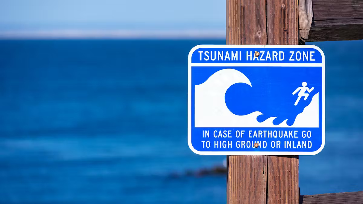
- Find out if you are in a tsunami hazard zone or if you reside on or near a shore.

Steps to Stay Safe
- Find out about the tsunami evacuation plan in your community. There are maps of evacuation routes and zones in several places. In the areas where you spend time, become familiar with and practice these routes.
- Determine a safe location at least 100 feet (30 meters) above sea level or at least one mile (1.6 km) inland if your municipality does not have a tsunami evacuation strategy.
- Be prepared to swiftly relocate to a higher location or inland. Don’t wait for a formal warning.
- As soon as the trembling stops, swiftly relocate inland or to higher ground away from the ocean. Don’t wait for an official alert.
What are some Natural Indicators of Tsunami?
- You may receive a warning in one of two ways: a formal tsunami alarm or a natural tsunami indicator. Both have equal value.
- Your first, best, or only warning that a tsunami is approaching could be a natural indicator. Unusual ocean behaviour, such as a sudden surge or wall of water or a fast retreat of the water, displaying the ocean floor, are examples of natural indications. Another is an earthquake. If you notice any of these symptoms, a tsunami might be on its way. Move away from the coast and to higher ground right away. Don’t wait for a formal warning.
- Local radio, television, weather radios, and other emergency alert systems broadcast tsunami warnings. Recognize the various notifications and know what to do when you receive one.


