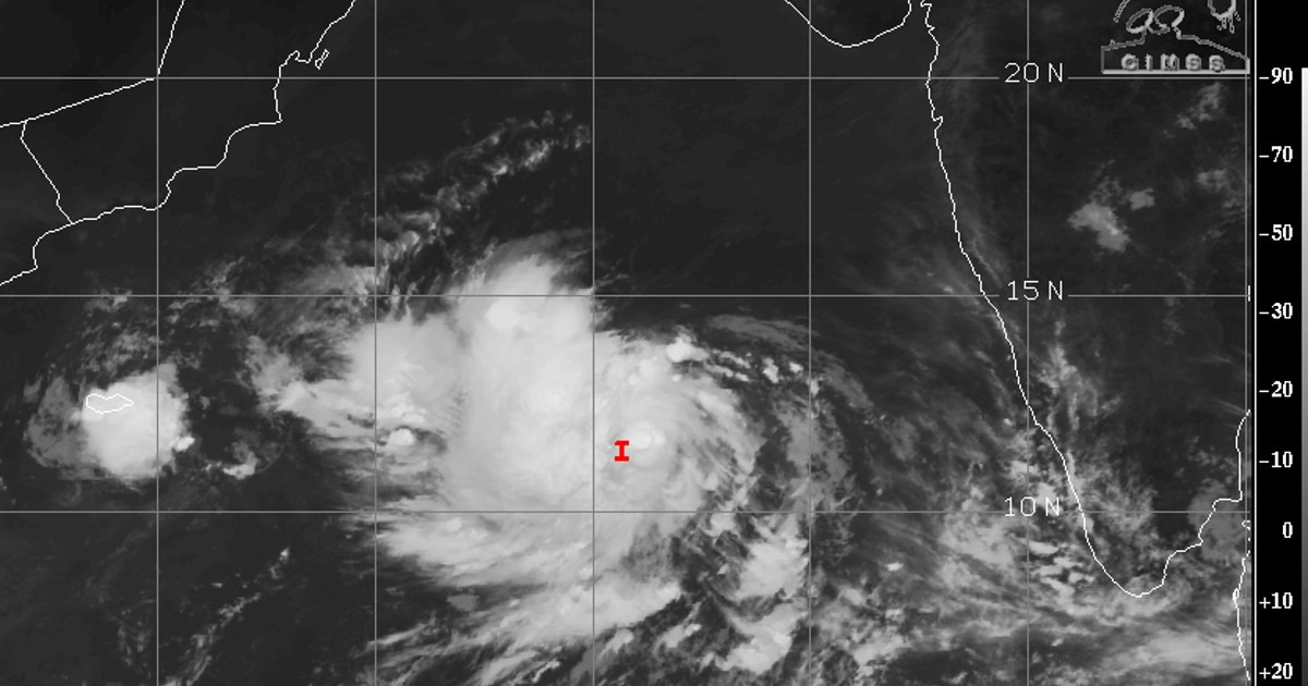
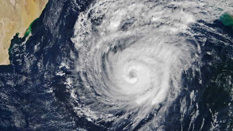
The Indian Meteorological Department (IMD) stated that Cyclone ‘Biparjoy’ was recently observed in the east-central and southeast Arabian Sea.
Table of Contents

According to the announcement on Wednesday at 5:30 am, the cyclone is projected to move towards the north and gain strength, transforming into a severe cyclonic storm within the next 24 hours. The IMD has cautioned about the expected severe weather conditions, including strong winds of approximately 135-145 kmph, with gusts reaching up to 160 kmph, persisting for the next three to four days.
The cyclonic storm remained immobile for a duration of three hours, located at a distance of around 900 km west-southwest of Goa, 1090 km south-southwest of Porbandar, 1380 km south of Karachi and 1020 km southwest of Mumbai.
Cyclone to impact coasts of Karnataka-Goa-Maharashtra
Cyclone Biparjoy is expected to have an impact on several southwestern states, and the has issued a wind warning for these regions for the next five days. On June 7, strong winds with speeds ranging from 80-90 kmph, with gusts up to 100 kmph, are likely to prevail over the east-central Arabian Sea and the neighbouring regions of the west-central and southeast Arabian Sea.
Later in the evening, these winds may strengthen further, reaching speeds of 95-105 kmph, with gusts up to 115 kmph in the same area. The areas adjacent to the west-central and south Arabian Sea, as well as the coastal regions of Karnataka, north Kerala, and Goa, are expected to bear the brunt of the storm’s impact.

By June 8, the wind velocities are projected to rise even further, reaching approximately 115-125 kmph, with gusts up to 140 kmph, starting from the evening. The coastal regions of will experience the force of these strong winds.
Moving on to June 9, the wind speeds may escalate to around 135-145 kmph, with gusts up to 160 kmph, starting from the evening. This will primarily affect the adjacent areas of the South Arabian Sea, as well as the southwest Indian coasts.
As for June 10, gale-force winds with speeds ranging from 145-155 kmph, gusting up to 170 kmph, are predicted specifically over the central Arabian Sea. The adjoining regions of the south Arabian Sea, along with the coasts of north Karnataka, Goa, and Maharashtra, will also bear the brunt of the cyclonic impact.
Warnings issued by IMD
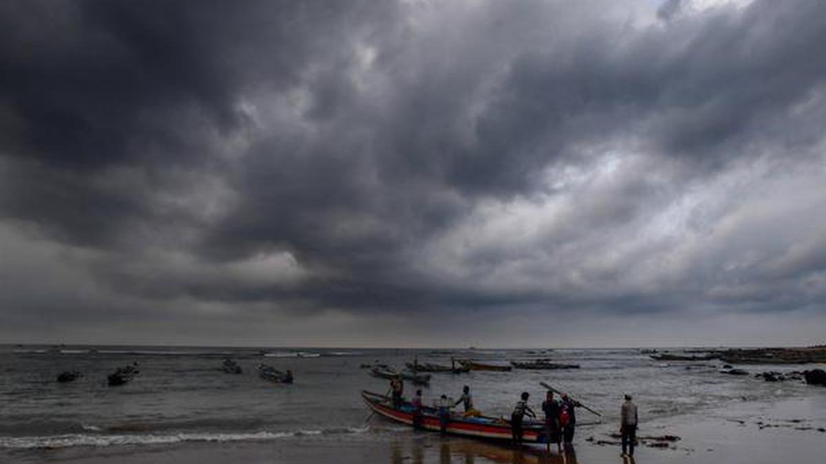
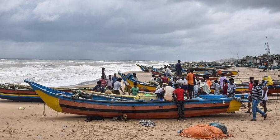
For the safety of fishermen, IMD has issued a warning, advising them to avoid going out to sea until June 10. Fishermen who are currently at sea are advised to return to the coast promptly.
According to the directions provided on the IMD’s official website, fishermen are urged to refrain from venturing into the central and adjacent regions of the south Arabian Sea between June 7 and 9. Similarly, they are also advised to avoid the central and adjoining areas of the north and south Arabian Sea on June 10.

Fishermen operating along and off the coasts of Kerala, Karnataka, and the Lakshadweep-Maldives areas should exercise caution on June 6 and 7. Additionally, fishermen along and off the Konkan-Goa-Maharashtra coasts are advised to remain vigilant from June 8 to June 10.
Impact of cyclone to delay monsoon in India
Weather experts announced on Monday that the cyclonic storm is anticipated to have a significant impact on the progress of the monsoon towards the Kerala coast, which is already experiencing a delay in its onset.
A specific date has not been provided for the arrival of the monsoon in Kerala, while some private weather forecasting agency suggested a tentative arrival between June 8 and 9, albeit with a slow and subdued outcome as it is likely to drive away the moisture from India.
These powerful weather systems in the Arabian Sea hinder the advancement of the monsoon into the mainland. While the monsoon may reach coastal regions under their influence, it is expected to encounter difficulties in penetrating beyond the Western Ghats mountain range.


