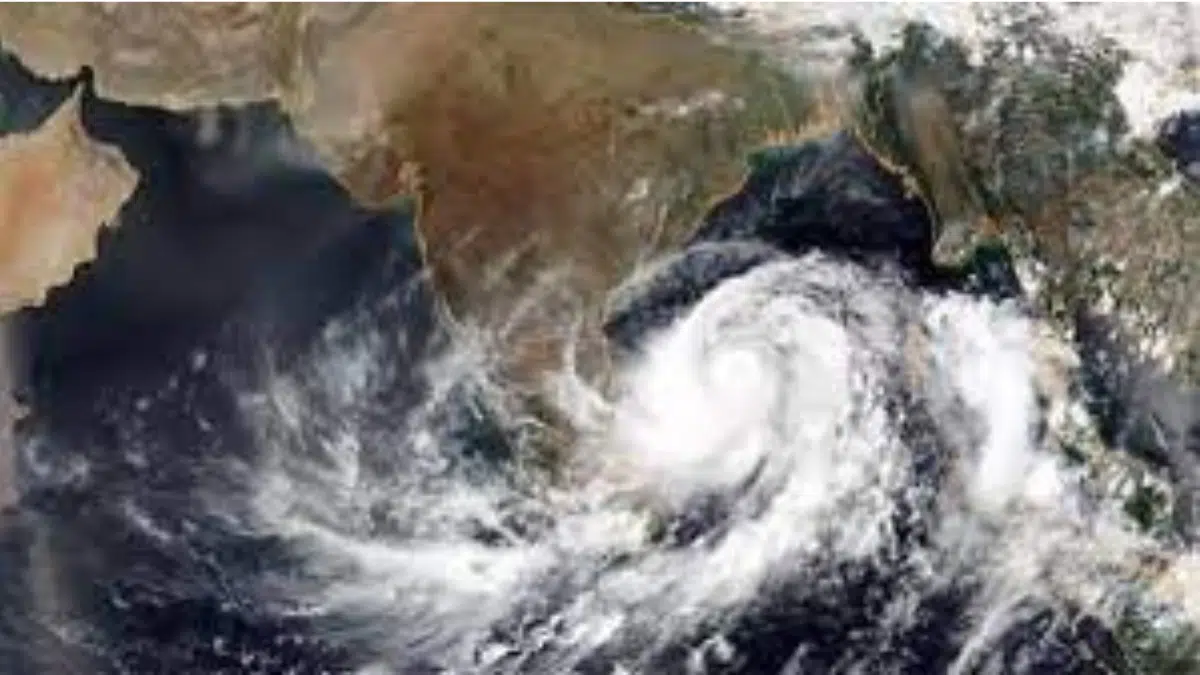
Since the meteorologists warned about Cyclone Mocha, it has been creating a lot of attention because of its unusual name. Yemen proposed the name ‘Mocha‘, which comes from the Yemeni city Mocha (also known as Mokha), recognized for its coffee industry. The well-known Mocha coffee is also named after this port city.

As the system becomes more powerful over the Bay of Bengal, attention has turned from its name to its potential consequences. Based on current predictions, the system could develop into a fully-fledged cyclonic storm in the next 48 hours.
According to the India Meteorological Department, the weather pattern has grown stronger and transformed into a low-pressure region in the Southeast Bay of Bengal next to the Andaman Sea this morning (May 8) at approximately 8:30 am. The initial predictions suggest that it will quickly intensify and become a depression by Tuesday (May 9), followed by a cyclonic storm by Wednesday (May 10).
Cyclone repercussions on eastern states
Whenever a summer cyclone begins to form over the Bay of Bengal, the eastern coastal states of India become nervous. People still remember Cyclones Fani, Amphan, and Asani vividly. However, the initial predictions suggest that Cyclone Mocha is improbable to hit the Indian coastline.
The low-pressure system is heading towards the central Bay of Bengal in a northward direction. According to the IMD’s GFS and ECMWF models, it will initially move northwestward, followed by a sharp northeast turn towards the coasts of Bangladesh and Myanmar. However, the ECMWF trajectory has changed to a more westerly direction compared to earlier predictions of the system’s path.
In the meantime, the NCUM models group indicated that the system may head towards the coast of Tamil Nadu instead, before coming back out into the southeast and adjacent east-central Arabian Sea.
The meteorology team at The Weather Channel predicts that the system is expected to move towards the north and hit Myanmar’s coast. Nevertheless, the varying tracks and intensities of Cyclone Mocha predicted by multiple models have resulted in a high degree of uncertainty regarding its behavior.

As the storm is close by, the Andaman and Nicobar Islands will likely bear the brunt of its impact, followed by some states along the East Coast of India. The IMD predicts that moderate rainfall will occur over most areas from May 8-12.
The Andaman region has already started experiencing isolated episodes of intense to extremely heavy rainfall, ranging from 64.5 mm to 204.5 mm, which will persist on May 8, 9, and 12. As the cyclone forms around Wednesday and Thursday (May 10-11), The Weather Channel predicts a series of powerful winds (≧80 km) accompanied by heavy to extremely heavy rains (204.5 mm) to strike the islands.
Furthermore, if the ECMWF prediction is accurate, The Weather Channel’s meteorology team believes that Odisha’s coasts may also experience a significant amount of rainfall in the next few days, particularly around Saturday and Sunday (May 13-14). Kolkata and several northern districts of West Bengal, including Darjeeling, Jalpaiguri, Kalimpong, and Alipurdar, may also expect light showers in the next 24 hours.
Regarding the southern regions of the country, authorities have assured that there is no cause for much concern. As per the observations made by IMD officials on Monday morning, Cyclone Mocha is unlikely to have a significant impact on the weather conditions of Andhra Pradesh or Tamil Nadu.
Considering the strong winds and approaching heavy rainfall, it has been strongly recommended that fisherfolk, small ships, boats, and trawlers do not enter the southeast Bay of Bengal and the adjacent area of the Andaman Sea from May 8 onwards. Additionally, tourism, shipping, and other offshore activities in these regions will have to be controlled until the weather conditions improve.


