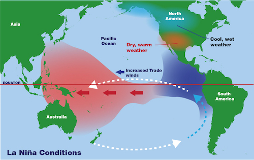
La Niña is an oceanic and atmospheric phenomenon that is the colder part of El Niño.
This leads to the cooling of ocean surface temperatures in the central and eastern equatorial Pacific Ocean.
This leads to good southwest monsoon in India and floods in Australia.
Southwestern Indian monsoon 2022 has already reached the Konkan coast. Very heavy rainfall is experienced in Goa with six of the 13 rain gauge centers in the state recording heavy rainfall.
There has been a jump in rainfall from the pre-monsoon day that is way higher on June 11th compared to June 10th.
This can be due to the impact of La Niña oceanic atmospheric changes in the central and eastern equatorial Pacific Ocean. The warnings of triple La Niña have been given by NOAA.
This will impact Indian monsoon as well as Australian monsoons. Impact will be heavy rainfall even floods in India and Australia.

La Niña event’s warning, what does it mean for the world?
According to World Meteorological Organization (WMO) there is a high probability that the ongoing protracted La Niña event, which has affected temperature and precipitation patterns and exacerbated drought and flooding in different parts of the world, will continue until at least August and possibly to the Northern Hemisphere fall and the start of winter.
Some long-lead predictions even suggest that it might persist into 2024. If so, it would only be the third “triple-dip La Niña” since 1950, according to WMO.
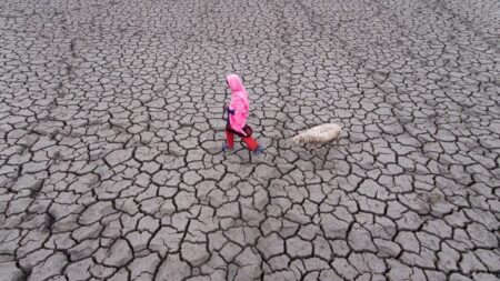
The ongoing drought in the Horn of Africa and Southern America bears the hallmarks of La Niña, as does the above-average rainfall in SouthEast Asia and Australasia and predictions for an above-average Atlantic hurricane season.
Impact of Human activities on La Niña
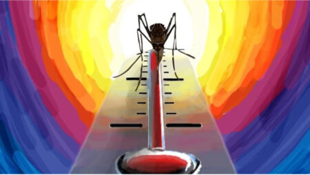
Human-induced climate change amplifies the impacts of naturally occurring events like La Niña and is increasingly influencing our weather patterns, in particular through more intense heat and drought and the associated risk of wildfires – as well as record-breaking deluges of rainfall and flooding.” Said WMO secretary-general Prof. Petteri Taalas.
The current La Niña event started in September 2020 and continued through mid-May 2022 across the tropical Pacific.
There was a temporary weakening of the oceanic components of La Niña during January and February 2022, but it has strengthened since March 2022.
Some atmospheric indicators continue to show a La Niña signal, including cloudiness along the equator and the Southern Oscillation Index while trade winds have shifted more firmly towards a more neutral ENSO pattern.


