Thunder, torrential rain and hailstorms to rock the city of Auckland, weather anomaly in motion as citizens advised to stay indoors.
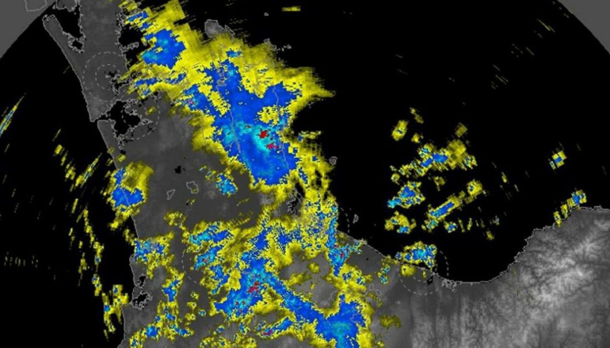
Gisborne, the Coromandel, and the Bay of Plenty are under a heavy rain warning, while Auckland may anticipate some heavy showers, thunderstorms, and gusty winds.

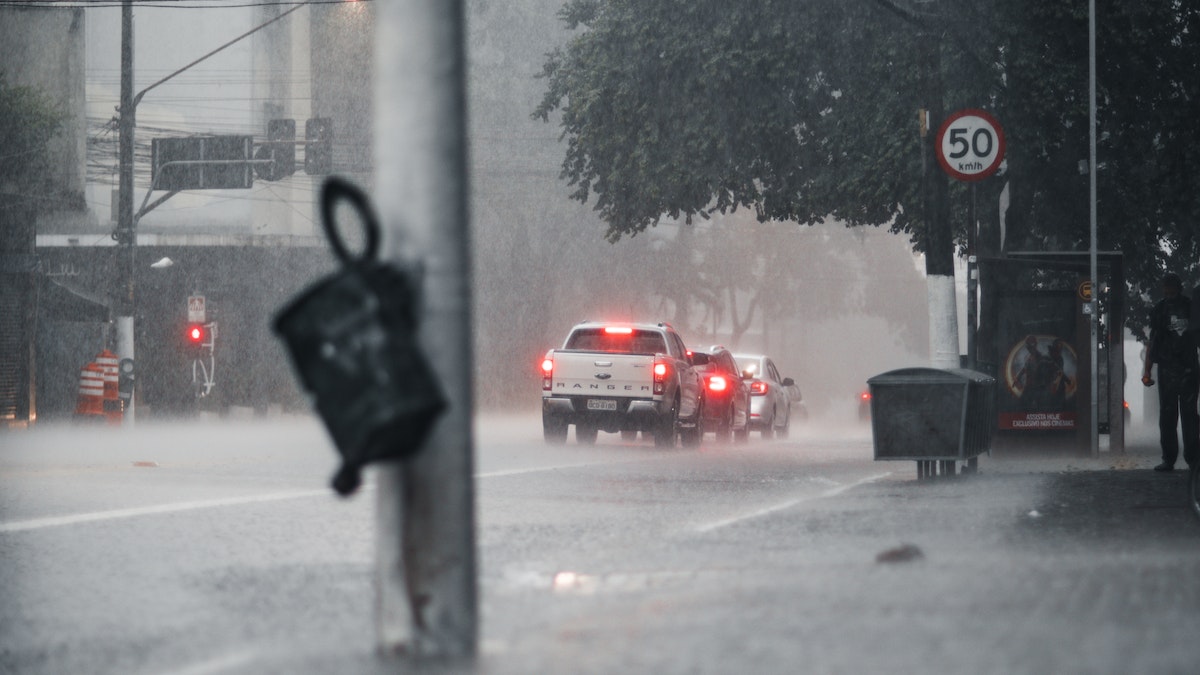
The City of Sails can anticipate passing showers, some of which will be heavy, with the possibility of hail today between 2 p.m. and 10 p.m., according to the most recent Met Service update. Take great caution on the roads, warns Auckland Emergency Management, as the weather entails heavy showers which might create surface flooding in already saturated regions.
Deep dive into the situation
The Auckland Emergency Management’s (AEM) twitter handle stated “Aucklanders, be prepared for a rainy afternoon as @MetService warns to expect passing showers today, especially from 2–10 p.m., some of which may be heavy, thundery, gusty, or with hail. Take extreme caution on the highways, as the heavier showers are creating temporary surface flooding owing to soil saturation.”
Several heavy rain watches have been issued today, and the possibility of heavy rain is still present for the east coast of the North Island. proper clothing and staying indoors if possible was a simple yet effective measure to tackle the unpredictability of the current weather conditions.

Meteorological service of New Zealand also known as Metservice twitted out “As a low-pressure system moves through the North Island, heavy rain warnings are in effect for the Coromandel Peninsula, the Bay of Plenty, Gisborne, and the Wairoa District of Hawke’s Bay.” Although warnings had been issued people were still seen out on the streets probably due to the daily workload demand.
Adding to it further Metservice stated that A low-pressure system passes the North Island late tonight into tomorrow, making it another lively start to the week. The upper part of the North Island will have showery (and thundery!) weather as a result. It is best to check the weather before leaving.
Insights into the irregularity
Auckland was flooded in less than five months and received nearly three times the average rainfall for almost a year. A whopping 1018.6mm of rain has fallen at the airport since January 1, just over 90 percent of the annual average, according to the latest data from the Auckland Airport Weather Station. In an average wet year, the observatory would have recorded only about 381 mm so far.
This is still larger than the 257mm and 250mm we recorded at this point in 2022 and 2021. Much of the year’s heavy rainfall is due to one-off extreme events, most notably the twice-yearly Auckland Centenary Weekend Floods, which resulted in Auckland’s heaviest rainfall in at least 170 years.

Earlier this month, scientists suspected that the blocking of the sun and cooling ocean effects from devastating bushfires in Australia in 2019 and 2020 may have caused a three-year La Niña event. Another new study also finds that strong La Niña’s and El Niño’s are becoming more frequent as climate change progresses. The La Nina event disappeared in early fall, but its effects are still lingering due to the time difference between the ocean and the atmosphere, which meteorologists believe contributed to this month’s wet weather.
Looking beyond
Ocean-driven climate patterns, known to bring hot and humid conditions in the northeast but drier conditions in the south, have been affecting the weather since the early decades of the year.
The forecaster said heavy rains and thunderstorms were possible and rainfall could reach warning standards. Heavy rain warnings are also in effect for the Gisborne and Wairoa areas at midnight. This is happening as the area begins to dry out after prolonged rains that have caused surface flooding, fallen trees and landslides, however the subsidence is not too far.


