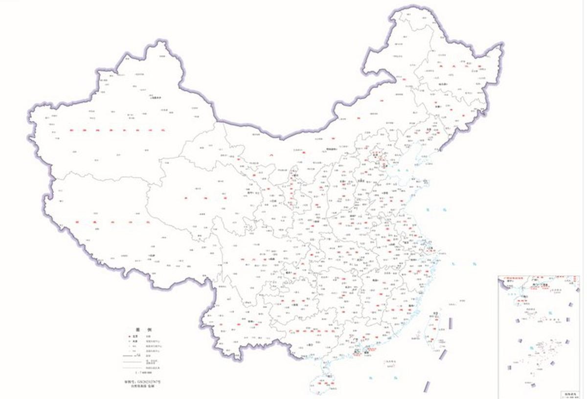
China has once again stirred controversy and has managed to irk its neighbors by unveiling its updated “standard map”. The updated “standard map” incorporated disputed territories that includes Arunachal Pradesh, Aksai Chin, Taiwan, and the disputed South China Sea regions. The map was released on August 28, and has raised diplomatic concerns and rekindled existing disputes.

The “Standard Map” of China:
Released by the ministry of Natural resources, the 2024 map claims territories on China’s western borders, also the so-called nine-dash line covering the entire South China Sea, as shown in the map of previous editions. Furthermore, the updated map also retains the “tenth dash” placed on east of Taiwan, underlying Beijing’s claims over the island.
The new map comes in after Beijing in April announced it would “standardize” the names of 11 places in Arunachal Pradesh, including a town close to the capital Itanagar. This list was the third such list of “renaming” places in Arunachal Pradesh. Observers see this as a response to India hosting events in the lead-up to the G-20 summit in the state, which were opposed by Beijing. The growing tension has captivated all the eyeballs towards the Chinese President Xi Jinping attending the G-20 summit on 9-10 September in New Delhi.
Following the public distribution of the standard map, the Ministry of Natural Resources will also make “digital maps and navigation and positioning” available. Various businesses, including “location-based services, precision agriculture, platform economy, and intelligent connected vehicles,” would employ them, as claimed in the reports.
The Indo-China relation:

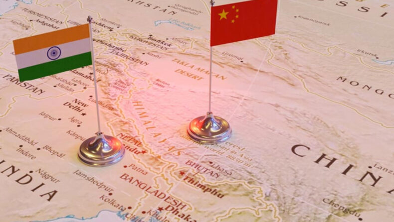
Since the last three years, India and China have been in a stand-off situation. Relations between the countries have deteriorated at all levels due to tensions on the Line of Actual Control (LAC). So far, they have engaged in 19 rounds of talks to address the boundary issues in eastern Ladakh since 2020.
India has time and again rejected China’s claim over Arunachal Pradesh. Arindam Bagchi, the external affair ministry spokesperson, in a Twitter post said that Arunachal Pradesh “has been” and “will always” be an integral and inalienable part of India. India has also rejected attempts made by China to rename 11 places in Arunachal Pradesh in the month of April.
Last week during the 15th Brics summit in Johannesburg, PM Modi was seen having a brief conversation with the Chinese President before the start of the conference. Foreign secretary According to Vinay Kwatra, it wasn’t a bilateral meeting; rather, the PM highlighted India’s concern over the “unresolved issues” along the LAC as the discourse reflected the relationship. Both the leaders agreed to work towards early disengagement and de-escalation
China’s Ministry of Natural resources:
In order to “strengthen the administration of the surveying and mapping undertaking, promote its development, and ensure that it serves the development of the national economy, the strengthening of national defense, and progress of society,” the People’s Republic of China passed the Surveying and Mapping Law 30 years ago this year.
Under Mr. Xi, Beijing has tightened its grip on border regions, and in 2022, a new border law that lays out a number of obligations for Chinese civilian and military officials to fulfill in order to “safeguard national sovereignty” was passed. The law’s article 7, which encourages border education at all levels of government, is pertinent to the granting of new names. According to Article 22, the Chinese military is required to undertake border exercises and “resolutely prevent, stop, and combat” what it refers to as “invasions, encroachments, and provocations.”
Note: India has denied Chinese claims on any of the Indian territory including Arunachal Pradesh shown in the new map by the Chinese government.


