As the cyclone intensified and the situation turned dangerous, the Indian Meteorological Department issued a warning and advisory.

Cyclone Biparjoy has developed in the last week in the Arabian Sea. As it has started to move north- northeastward, a warning has been issued, keeping in mind that it can be dangerous for both life and property in human dwellings. The Indian Meteorological Department, observing the same, has issued the warning as well as an advisory for the locals and people to take care and make sure to maintain distance from the coastal regions. The alert has been issued by the three states that have coastal lines touching the Arabian Sea.
Developments till now
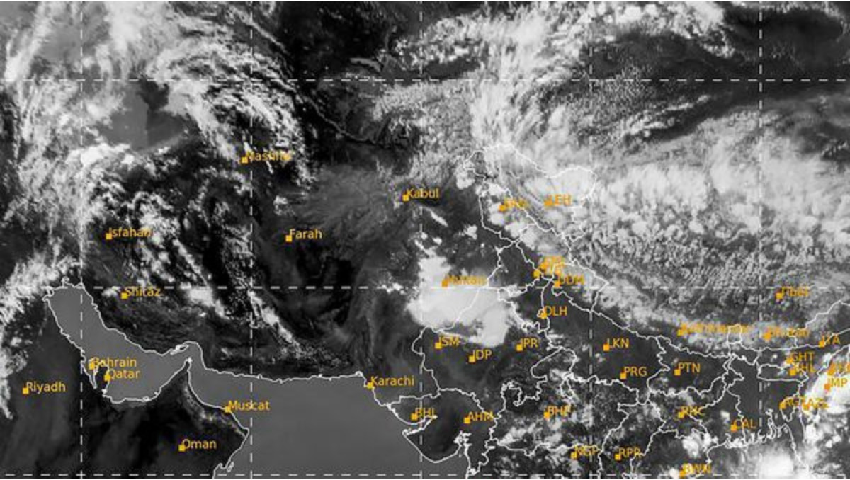
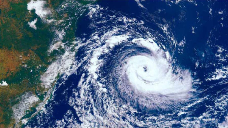
Cyclone Biparjoy is a tropical cyclone that has developed in the east-central region of the Arabian Sea. As the cyclone starts to move in the north-northeast direction, an alert and warning have been issued by the Indian Meteorological Department. The same Indian Meteorological Department has issued an alert as the situation has turned very severe and the situation has intensified. The alert has been issued for the states of Gujarat, Kerala, Karnataka, and the Union Territory of Lakshadweep.

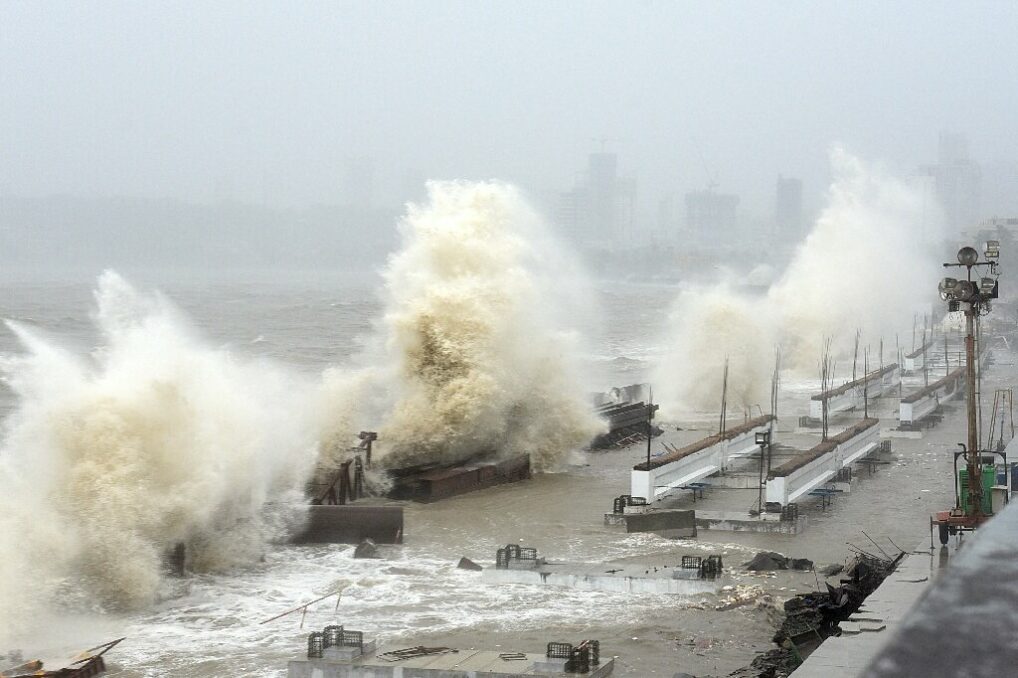
The cyclone has been far away from the coasts of the states, such as being 690km west of Goa, 640km west- southwest of Maharastra, and 640km south-southwest of Porbandar. Coming with a speed of 145 km/hr to touch the coasts of these states. The same Indian Metrological Department has issued a warning to close Tithal Beach in Gujarat as it can affect the locals and cause much danger to life and property. IMD has issued a warning about the devastating implications of the upcoming cyclone. They mentioned that the following can cause heavy rains and strong winds to flow at the location.
Consequences followed by a cyclone
as a cyclone is formed in the region of low pressure due to high temperatures. In the same case, the Arabian Sea has been highly warmed, and as a consequence, a disturbance has formed over the region, which has been moving towards the coast. After touching the coast, the following cycle will vanish and get down as it meets the coastline of the subcontinent.
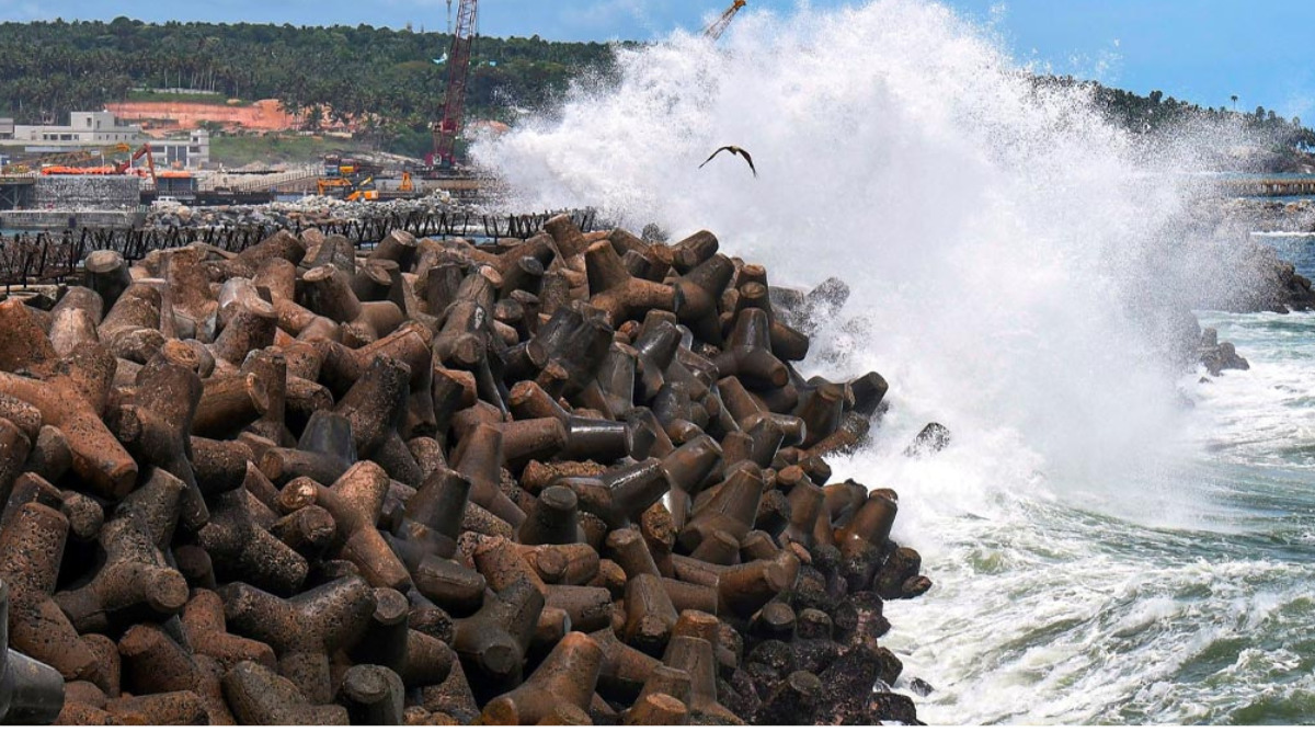
Following the same pattern, there can be heavy bursts of rain and gusty winds in the region. The Indian Meteorological Department has also issued a warning, mentioning the burst of heavy rain and gusty winds that will be followed as the cyclone meets the coast.
Cyclone formation in the Arabian Sea
Cyclone formation is a geological process. It happens as the temperature rises and the pressure drops. It is the strong wind system that is formed over the area of low pressure. These types of cyclones are also known as tropical disturbances,” as they are formed in the region between the Tropic of Cancer and the Tropic of Capricorn.

They tend to move towards the coast, and once they meet the coast of the cyclone, They vanish and lead to heavy rainfall over the region, followed by strong gusty winds. The processes of cyclone formation and vanishing are all natural, but sometimes they can be dangerous for both life and property.
India, on average, receives six such tropical disturbances in a year. They are mostly in the Bay of Bengal but rarely occur in the Arabian Sea. For example, out of these six tropical disturbances over the year, Only one can be in the Arabian Sea; the rest can be in the Bay of Bengal. The Arabian Sea’s rising temperature and the formation of a low pressure zone there have resulted in the formation of more tropical disturbances than usual.


