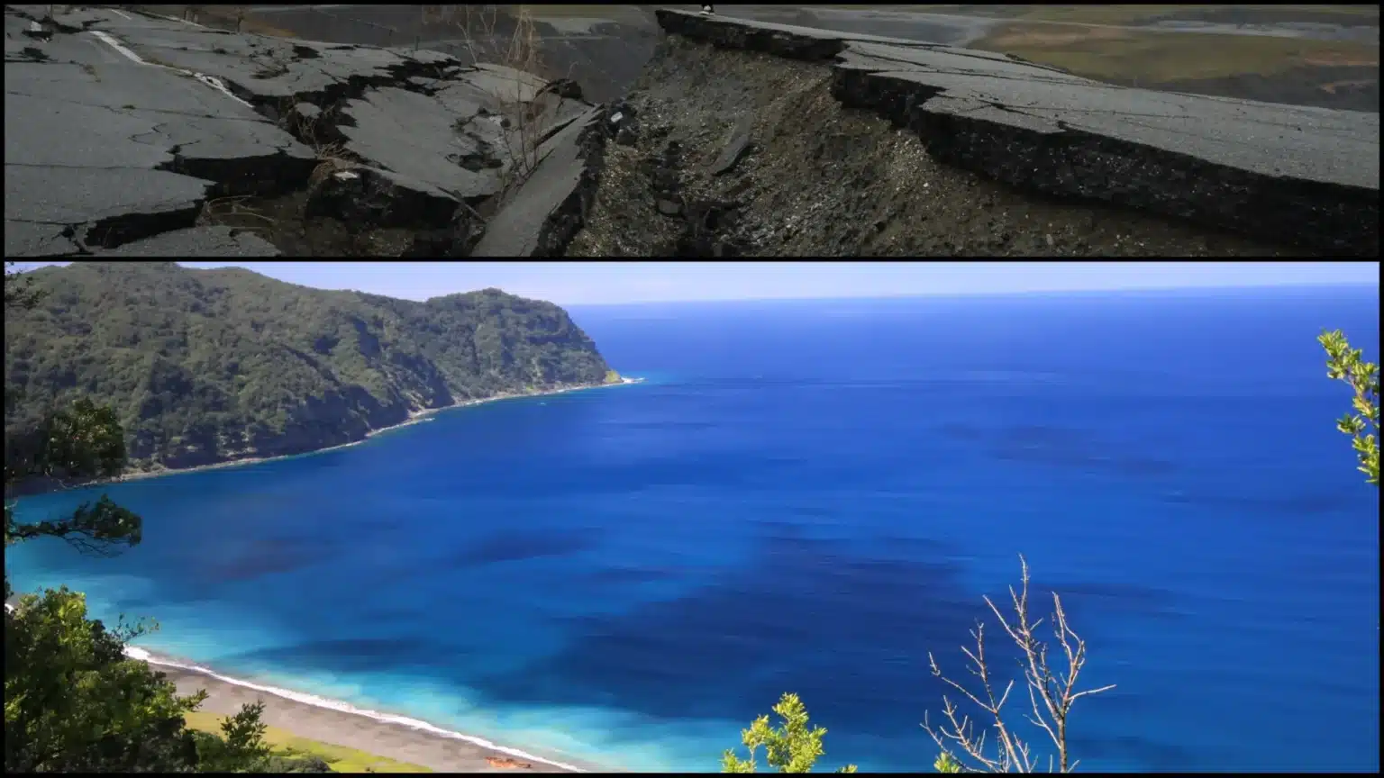
According to the National Centre for Seismology data, an earthquake with a magnitude of 7.2 occurred at 6:11 a.m. on Sunday in the Kermadec Islands, New Zealand.
The earthquake struck at 6.11 a.m., Indian Standard Time, according to the NCS. “Earthquake with Magnitude: 7.2 took place on April 24, 2024, at 06:11:52 IST, Latitude: -29.95 and Longitude: -178.02, Depth: 10 km, Location: Kermadec Islands, New Zealand,” tweeted the National Centre for Seismology.

According to the National Centre for Seismology, the earthquake occurred near the Kermadec Islands in New Zealand at a latitude of -29.95 and a longitude of -178.02, with a depth of 10 km.
However, the National Emergency Management Agency stated that there were no tsunami alerts. According to our current understanding, it is not likely for the earthquake to have triggered a tsunami, which would create potential danger in New Zealand,” it tweeted.

So far, no fatalities have been reported.
Karmadec Islands, New Zealand
Kermadec Islands are a group of islands with active volcanoes in the South Pacific Ocean. They lie approximately 600 miles northeast of Auckland, New Zealand. They are a New Zealand dependency. Raoul, Macauley, and Curtis islands, as well as L’Esperance Rock, comprise a total land area of 13 square miles (34 square kilometres). Raoul, the largest island (11.3 square miles), has rocky coastal cliffs that rise to Mt. Mumukai (1,723 feet [525 metres]).
The group is frequently disturbed by earth tremors since it is located on the western side of the Kermadec Trench.

The first Europeans to settle here (1837) traded garden products with passing whalers before finding themselves compelled to move elsewhere during an eruption of volcanoes in 1872; these islands were reestablished in 1878 but evacuated at the start of World War I. In 1887, the group was conquered by New Zealand.
A meteorological-communications facility was installed in Raoul in 1937 still exists, but settling there permanently is forbidden due to the group’s extreme isolation.
On April 17, 2024, this group of islands was last affected by a 5.2-magnitude earthquake.
What exactly is an earthquake?
An earthquake is a natural calamity that occurs when two slabs of earth abruptly slip past each other. The fault plane, also referred to as the fault, is the point of contact where they slip. The hypocenter is the point beneath the outermost layer of the earth where the earthquake begins, while the epicenter is the point that lies above it on the earth’s surface.

Foreshocks can occur during an earthquake. These are lesser earthquakes that occur in the same location as the major one that follows. Scientists can’t identify if a quake serves as a foreshock before a larger one occurs. The mainshock is the most powerful earthquake. Aftershocks are always generated by mainshocks.
These are lesser earthquakes that occur in the same location as the mainshock. Depending on the magnitude associated with the main shock, aftershocks might last for weeks, months, or even years!
What is the cause of an earthquake?
The earth is divided into a total of four primary layers, which are the inner core, the outer core, the mantle, and the crust. The crust and upper mantle form a thin outer layer on the outermost part of our planet.
But this outer layer is not composed entirely of one piece; it is made up of several pieces, much like an intricate puzzle covering the earth’s surface. In addition to this, all of these pieces keep moving about, sliding past and knocking against one another.

These puzzle pieces are known as the plates of tectonics, and the borders of the plates are known as plate boundaries. Many faults run along the plate borders, and the majority of earthquakes originate on these faults.
Because the edges of the plates are coarse, they become trapped as the rest of the plate slides. Ultimately, after the plate has shifted far enough, the margins of one of the faults unstick and an earthquake occurs.


