The Union government introduced a smartphone application, Jaldoot, jointly created by the Rural Development and Panchayati Raj Ministries, to monitor groundwater levels across the country in response to the fast decreasing water table, which threatens to force several regions into drought.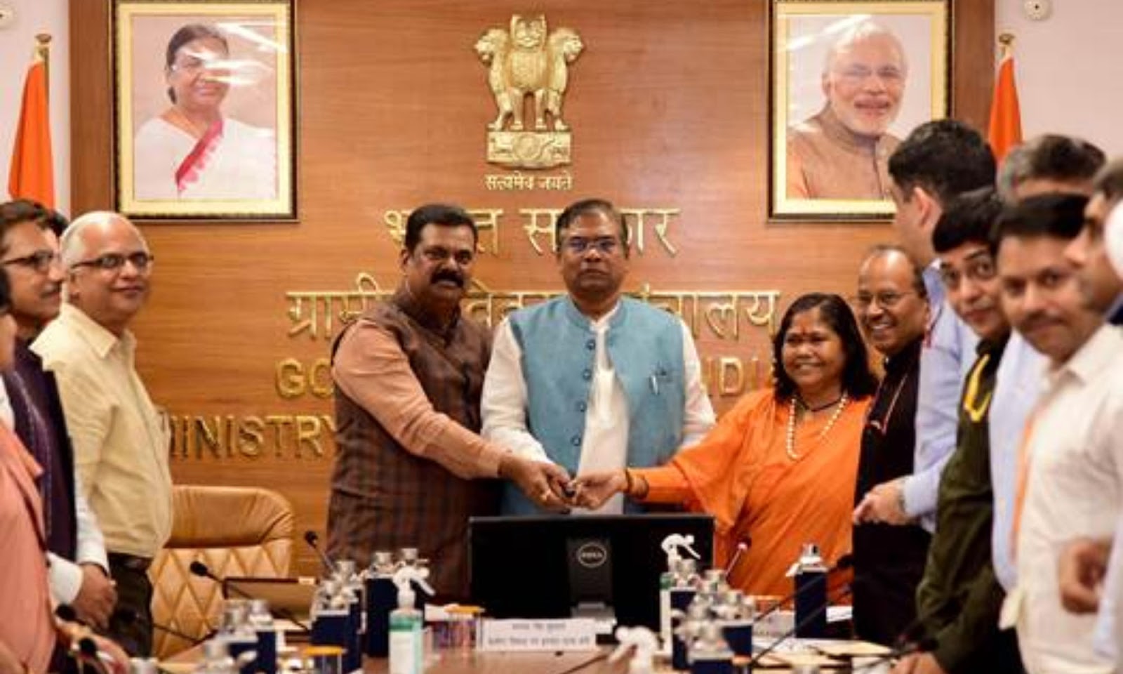 Source: PIB
Introducing the Jaldoot App
Gram Rojgar Sahayak (GRS) will be able to check the water level in specific wells twice a year using the Jaldoot app (pre-monsoon and post-monsoon).
A sufficient number of measurement sites (two or three) must be chosen in each community. A village’s ground water level may be estimated using these.
By providing panchayats with reliable data, the app will aid in the improvement of infrastructure planning. Information gathered on groundwater might be used in the planning processes for the Gram Panchayat Development Plan (GPDP) and the Mahatma Gandhi National Rural Employment Guarantee Act (Mahatma Gandhi NREGA).
Additionally, the information may be put to a variety of research and other uses.
The Jaldoot App in Action
This app will be used in every region of the country to record the water level in a random sample of two or three wells in each community.
Two times a year, from May 1st to May 31st (during the pre-monsoon period) and again from October 1st to October 31st (during the post-monsoon period), manual measurements of water levels in open wells will be taken.
On each occasion of water level measurement, Jaldoots (the officers tasked with taking readings) should also upload the geo-tagged images via the app.
It’s possible to use this mobile app without an internet connection. Because of this, water levels may be recorded even when there is no network connection; data will be saved in the mobile device and synced with the server whenever the device returns to a network area.
The Jaldoots’ ongoing contributions to the database at National Water Informatics Centre (NWIC) would allow for the generation of reports that would be of service to a wide range of people. The JALDOOT online site provides reports on water levels, the monsoon, and registered users.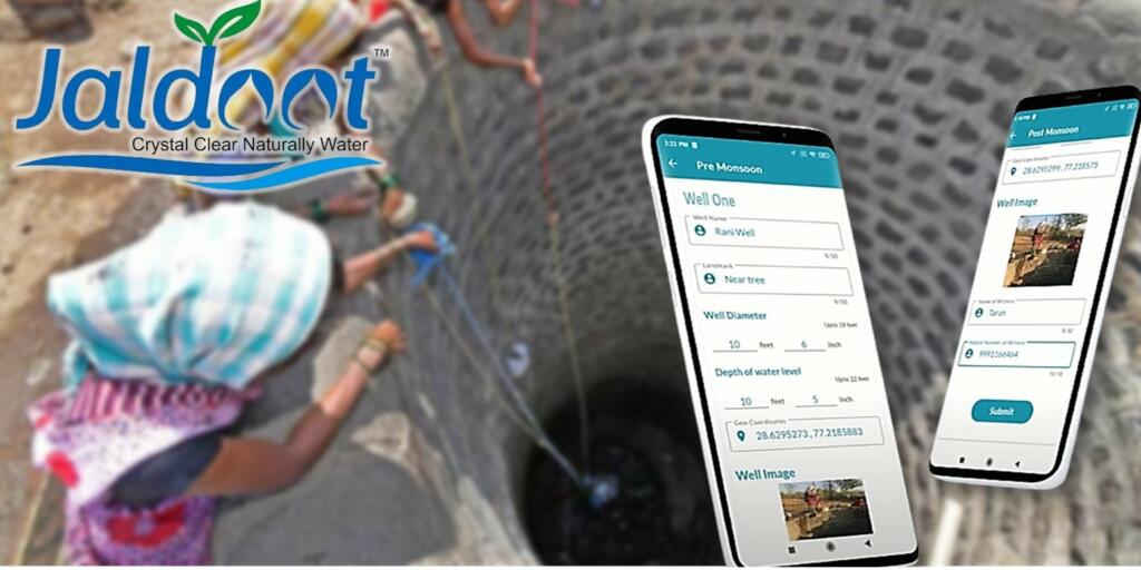 Source: The First Post
The National Water Informatics Centre
To serve as a clearinghouse for current water statistics and related topics, the Government of India established the National Water Informatics Centre (NWIC) in 2018.
To better manage the country’s water supplies, the Ministry of Jal Shakti established the Centre as a subordinate entity within the Department of Water Resources, Research and Development and General Administration.
Gathering data from several sources, creating a new database, cataloguing everything in a geographical information system (GIS) standard, and making all of this data accessible via a scalable web-based interface.
Keeping track of water statistics and information, including collecting, organising, and sharing it.
The exchange of hydro-meteorological data between federal and state agencies Other Water Stakeholders and the Public at Large.
Help users produce high-quality maps with extra value by allowing them to stack many layers of data from a geographic information system convey a holistic perspective of potential water resource outcomes, and Work together with universities and research centres around the country and the world.
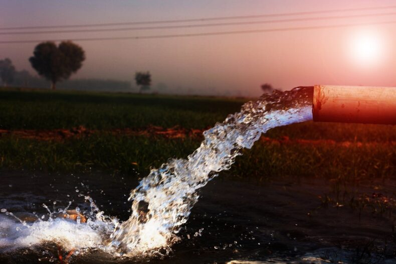
The government has adopted several measures to enhance water management in both rural and urban regions, including watershed development, afforestation, water body development and repair, rainwater collection, and so on. Withdrawal of groundwater and use of surface water sources have reached critical levels in many parts of the country, leading to significant depletion of water levels and causing distress to the community and farmers.
Therefore, measuring and observing the levels of water tables across the country has become necessary.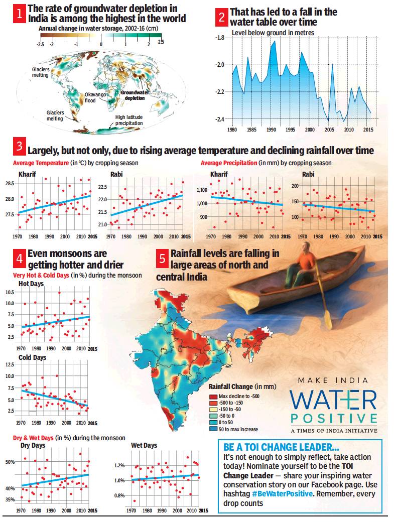 Source: Indpaedia
Time to Roll Out Jaldoot App
Improve Water Use Efficiency
Reduce water waste on farms by increasing the use of water-saving technology like precision irrigation (More crop per drop).
In order to improve aquifer recharge and implement sustainable water conservation methods, it is necessary to investigate the potential of
- utilising recycled water from cities for crops and lawns outside of cities.
- encourage more non-governmental funding for a sophisticated irrigation scheme.
