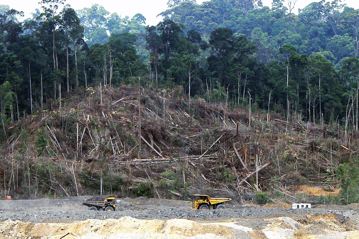
The Karnataka government submits an affidavit before the Supreme Court for changing the land area notification from 9.94 hectares to 3.3 lakh hectares. The declassified land is now handed over to the Revenue Department and they utilise it to build public facilities such as schools and hospitals.

Criteria for considering a land “Forest”
A forest is defined as “a huge region of land densely covered with trees,” according to the dictionary. In 1996, the Supreme Court defines that any territory listed in government records, regardless of who owns it, is considered a forest. Forest land is defined as land with 50 trees per hectare, according to survey participants. The denotified area no longer meets the criteria for Forest classification.
Denotification of 6.64 lakh Hectares land
The government plans to take only 3.3 lakh hectares of forest land, while the revenue department will look after the remaining 6 lakh hectares to assist encroachers those who cultivate illegally on government land. The verification of figures has to be notes. A reconstituted expert group is formed which divided them into notified forest areas and Deemed forests. Karnataka’s Forest land reduced to 3.3 lakh hectares

“The state failed to protect the deemed forest land and now they want to erase it all”.
BK Singh, Chief conservator
Consequences
Karnataka’s Forest land reduced to 3.3 lakh ihectaresf this process goes on, the Karnataka government will cut off forest land much more in the future years. Forest land protection is essential so it must be safeguarded. These Karnataka forests supports about a quarter of the elephant population. These forests also supports ten percent of the tiger population. Reducing forest areas demonstrates the government’s failure to protect designated forest areas, and biodiversity will be the most affected of all.
Read More : Deforestation in Brazil’s Amazon rainforest reaches new levels ahead of presidential elections
edited by – harsh bhimani


