By Namrata Sarkar| Wednesday , 7th September
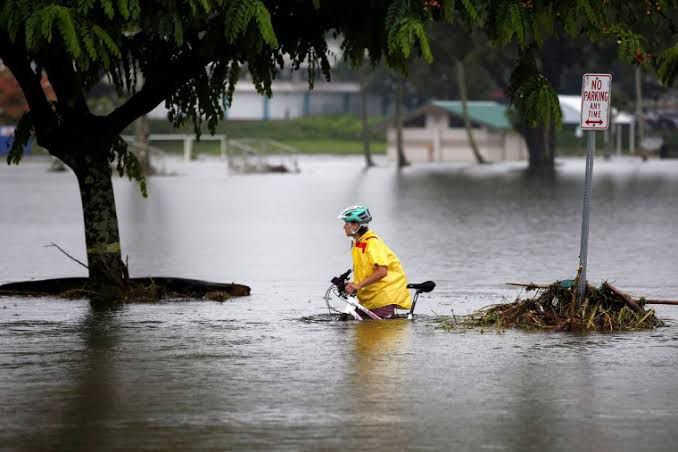
Over the next few days, a large rain band that spans four Australian states is predicted to bring with it torrential downpours, hail, and thunderstorms. As the band continues to travel over the nation’s east, the Bureau of Meteorology has issued severe weather warnings for people of SA, NSW, QLD, and VIC.
The Bureau also issued a warning, predicting that a cold front will pass over the east coast on Wednesday night and remain there through much of Thursday.
According to BOM, “severe storms may result in torrential rainfall, destructive winds, and huge hail.”
“Renewal or protracted flooding may result from rainfall over flood-affected areas.” As the erratic weather generates significant swells, hazardous surf warnings are also in effect for Queensland and NSW.

Highlights of the event
In the following days, a large rain band that is moving across the nation and towards the east coast is expected to produce violent thunderstorms, flash flooding, and strong winds.
Thunderstorms and flooding were predicted to be most severe in inland Queensland and northern New South Wales.On Wednesday night, the rain band was predicted to enter Queensland, New South Wales, and Victoria’s western regions before advancing across the remaining eastern states on Thursday.
According to senior meteorologist Christie Johnson with the Bureau of Meteorology, between 15 and 40mm of widespread rainfall was predicted, some of it in already-wet areas.
Although this may not seem like much rain, since much of it will be falling over already saturated and flooded areas, we anticipate fresh river rises and the potential prolongation of present flooding, she said.
We now have a lot of flood warnings in effect, especially in inland NSW, southernQueensland, and portions of Victoria, and we will issue more flood watches and warnings as needed, she continued.The BoM has issued minor to moderate flood warnings for the Bogan, Lachlan, Murrumbidgee, Murray, and Edward rivers, in addition to a minor flood warning for the Macquarie River.
In especially over elevated locations, it warned that the system might produce strong wind gusts and hail. South Australia and the southernmost reaches of the Northern Territory had previously experienced the cold front.
The front and tropical moisture from the Indian Ocean and Coral Sea were expected to combine to develop the system on Wednesday afternoon over eastern South Australia and the south-eastern Northern Territory.

In Jhonson’s point of view
According to Johnson, Australia is currently experiencing a negative Indian Ocean Dipole event, which is responsible for the increased rate of rainfall along the east coast.The sea surface temperatures all around Australia are likewise higher than typical. Because of these factors, a lot of moisture is readily available and might be sucked into these weather systems as they move through the nation, according to the expert.
“The forecast for October to December indicates that most of eastern Australia will see wetter-than-average conditions.”Intense thunderstorms and potentially huge hailstones are predicted to move across the eastern states as part of a gigantic rain belt that will stretch for 2000 km.
According to Sky News, a cold front is anticipated to strike Far West NSW on Wednesday in the afternoon. The region will have widespread rain and thunderstorms, according to meteorologist Alison Osborne, while the region’s most significant rainfall will likely remain west of the Great Dividing Range. On Thursday evening, northerly winds will drive a 2000 km rain band from Queensland to northern Victoria, but it will quickly dissipate by Friday morning.

Over the next eight days, up to 25mm of rain is predicted to fall across significant areas of southern Queensland, the Murray Darling Basin, northern Victoria, and South Australia. The state of South Australia will experience a surge of severe storm activity on Wednesday, according to Ms. Osborne.
As the cold front moves through, thunderstorms are likely to develop over the state into the evening. On Thursday night and into the early morning, there is a chance of flash flooding, huge hail, and destructive wind gusts. The hit-and-miss nature of these storms makes it challenging to pinpoint precisely which municipality would be affected.


