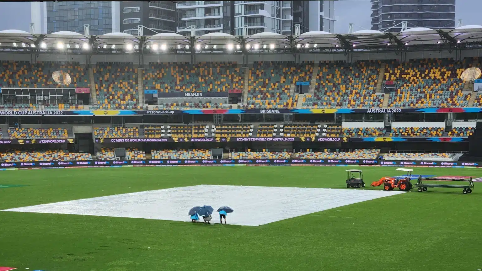
As forecast by Australia Bureau of Meteorology due to La Nina Heavy rains were expected to begin Down Under’s summer earlier than usual this year, the dropping of sea surface temperatures in the eastern equatorial region of the central Pacific Ocean. Even though summer has not yet arrived, people can already see the results of the unusual weather. The typical October rainfall in Melbourne is about 65 millimetres. Up to this point, the city has gotten 120mm of precipitation in 2018.
To what end is Australia experiencing such heavy precipitation?
Changes in precipitation are mostly caused by three factors:
- The El Nino Southern Oscillation (ENSO)
- The Indian Ocean Dipole,
- Southern Annular Mode
In recent years, these three patterns have converged to produce widespread rainfall across eastern Australia. East Australia receives above-average precipitation during La Nina phases of the El Nino Southern Oscillation. This also occurs during positive phases of the Southern annular mode. During a La Nina, energy is transferred from the atmosphere to the oceans, resulting in cooler than normal world average air temperatures. In contrast, El Nino years have the opposite effect, with increased atmospheric temperatures due to energy being transferred from the seas back to the atmosphere.
 Source: Phys.org
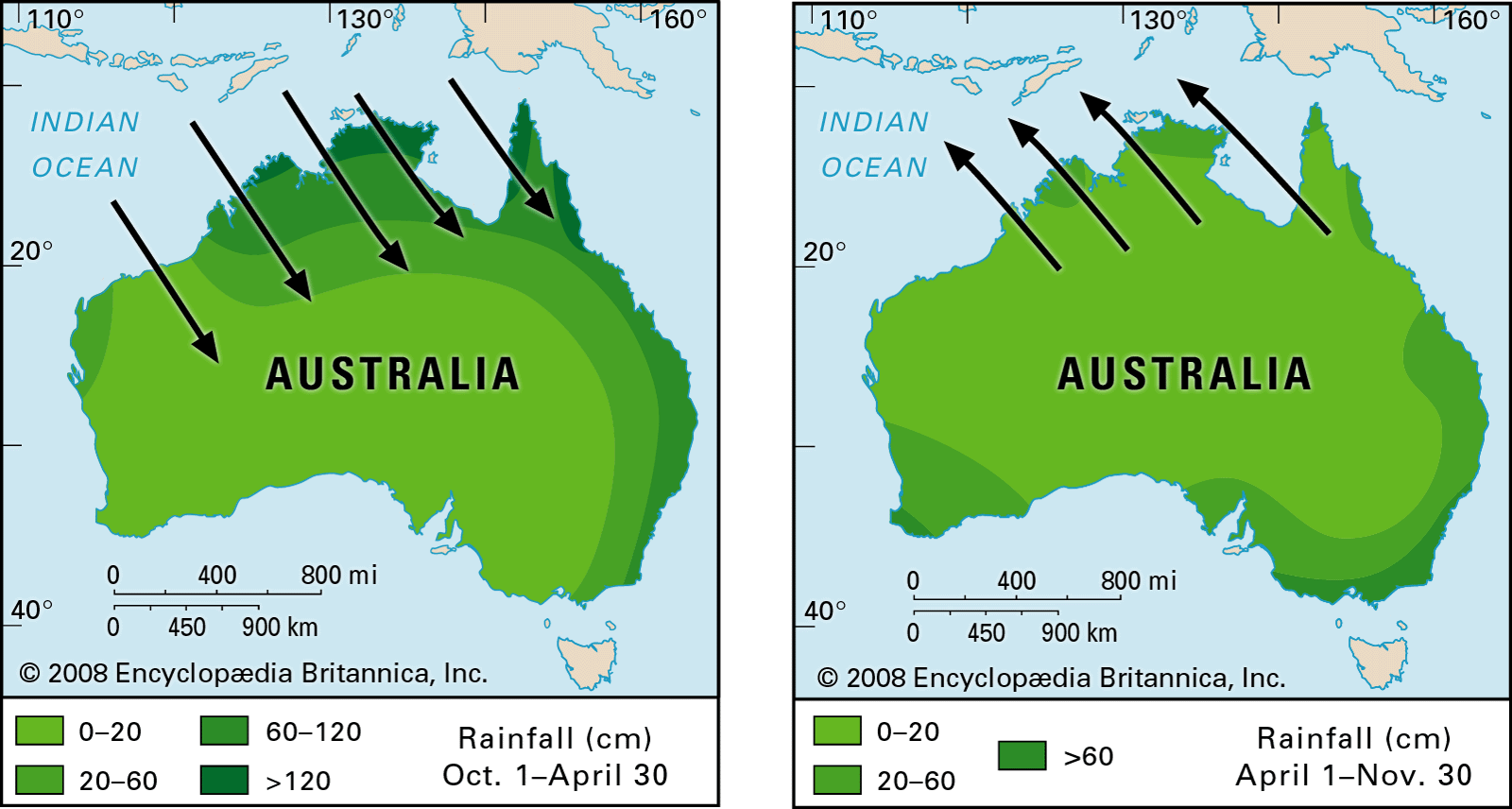
As a result of La Nina, the ocean currents off the coast of northern Australia are warmer than typical. In turn, this leads to increased evaporation into the sky, which eventually rises over land, cools, and condenses as precipitation. For the third year in a row, the Pacific Ocean has experienced La Nina, the phase of ENSO characterised by stronger east-to-west winds. Having a La Nina event occur three years in a row is quite unusual. The average interval between La Nina events is three to eight years.
Rainfall in south-eastern Australia is above normal because the Indian Ocean Dipole is in a negative phase.
 Source: Britainnica
It’s exceedingly unusual for all three of these causes to be in a phase that provides increased rainfall at the same time. It’s not just a fluke that these weather patterns tend to precede catastrophic events. Extremely warm temperatures have been recorded recently in both the Arctic and Antarctic. Dr. Takacs has suggested that the recent spate of natural disasters may be linked to the accelerated warming of the poles relative to the equator. It’s not a fluke that these weather patterns always result in catastrophic events. The Arctic and Antarctic have been experiencing unusually high temperatures, according to recent observations. One possible cause of the current spate of natural disasters is the accelerated warming of the poles relative to the equator.
 Source: The Guardian
The temperature differential between the equator and the poles is what creates, but also upsets, our global weather systems. It’s possible these systems will become more long-lasting as the temperature gap between them narrows.
Because of this, we should expect an increase in the frequency of long dry periods and heatwaves, both of which increase the risk of bushfires, and in the frequency of lengthy rainy spells, both of which increase the risk of floods and landslides.
There has never been a blaze in Australia’s history that has destroyed as much land as these have. Similarly, in normal circumstances, floods in Moruya on the south coast wouldn’t be mirrored in Bellingen and the Lockyer Valley in Queensland. While global warming is narrowing the temperature gap between the equator and the poles, it is entering uncharted territory in terms of how our climate system functions. Greater variability is imminent, therefore we must begin making plans now.
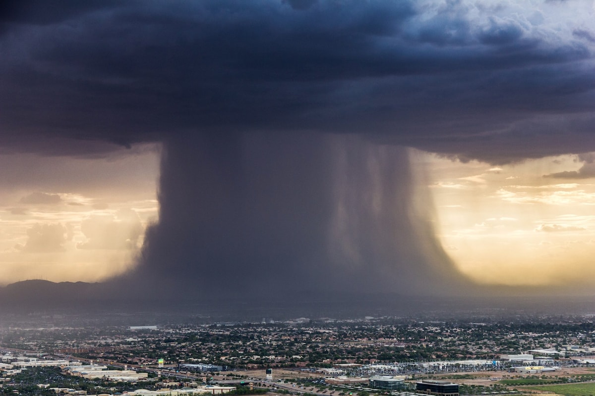
What is a rain bomb? Extreme weather that wreaked havoc in Australia was extremely rare.
If the air hits the ground with enough energy to generate tornado-like winds, we have a rain bomb occurrence. Brisbane, the third most populated city in Australia, was hit by a rain bomb that downed power lines and caused massive damage in only a few short hours. In many sections of the Australian metropolis, the rain has been relentless and has not let up at all. Since Thursday, numerous areas have received more than 1.5 metres of rain, or nearly the average annual rainfall.
 Source: The Washington Post
This year’s flooding in Brisbane is the worst since 2011, when a once-in-a-century catastrophe submerged the city of 2.6 million people. On Monday, flooding affected 2,145 homes and 2,356 businesses in the suburbs of Brisbane, prompting many emergency flood alarms. Over 10,827 homes also experienced partial flooding up to the second floor.
How has the rain in Australia affected World T20 favourites?
 Source: Navbharat
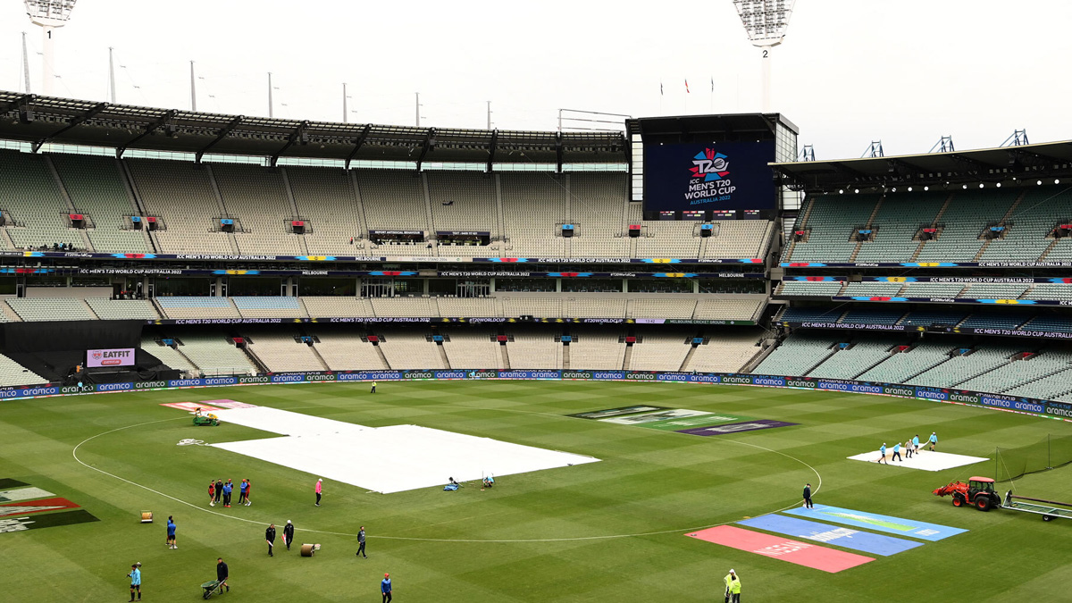
The England–Ireland match was cut short due to rain. After being put into bat at the MCG, Ireland was quickly bowled out for 157 runs. Moeen Ali’s 24 runs off 12 balls led England’s mini-recovery from being 86 for 5 after 13.1 overs to 105 for 5 after 14.3 overs. Rain began to fall, and the final Duckworth-Lewis score put England five runs behind.
There was a rain delay on Monday, but the game between South Africa and Zimbabwe still went the full 20 overs. The game was delayed for two hours because of the rain that began falling just after the coin toss. After the rain stopped, the game was played with only nine players on each side.


